Edgecumbe flood, 2017
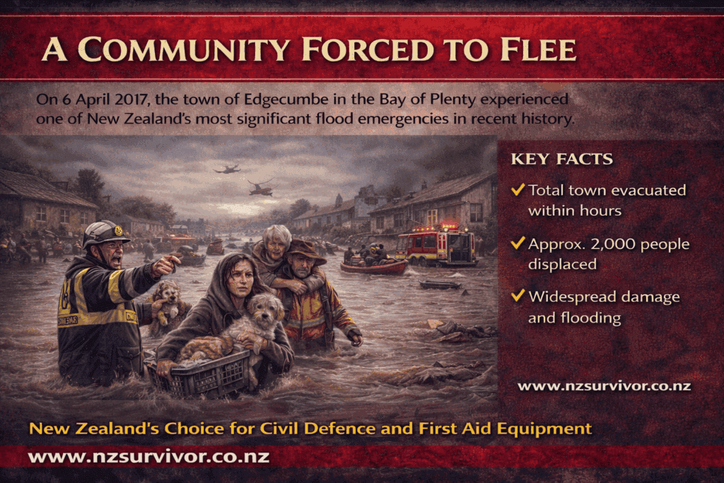
A Community Forced to Flee On 6 April 2017, the quiet Bay of Plenty town of Edgecumbe became the centre of one of New Zealand’s most significant flood emergencies in recent history. Heavy rainfall from the remnants of Tropical Cyclone Debbie quickly escalated into a full-scale disaster — forcing the evacuation of an entire town […]